Otavi Constituency - Otjozondjuparc
OTAVI CONSTITUENCY
Geographic Coordinates: 19°39?S 17°20?E
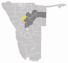
is an electoral constituency in the Otjozondjupa Region of Namibia. The constituency is bordering Grootfontein Constituency to the North East, Otjiwarongo Constituency to the South East, Tsumeb Constituency in Oshikoto Region to the North and Outjo Constituency in Kunene Region to the west. It has 12,488 inhabitants according to the 2011 census results and cover the area of 14 243.1 Per Square Km². The common languages spoken in the constituency are Damara/Nama, Afrikaans, Oshiwambo, Rukwangali and Otjiherero. The name Otavi is driven from Herero word “Ondavi” meaning ‘branch of a tree’. The constituency lies in a pleasant green forest with fertile plains, and ample underground water with Otavi Mountains.
Economic Activities in the constituency
Agriculture
Agriculture is the most dominant economic activity in the constituency with commercial livestock farming and crop production. The town of Otavi, Tsumeb and Grootfontein defines an area known as ‘Otavi Triangle’. This geographical region is sometimes referred to as the ‘Golden Triangle’ or as the ‘Maize Triangle’, owing to the cultivation of maize in the area. The constituency receives the high rainfall in the country with an annual rainfall ranging from 400m – 600mm.
Mining
The first vanadium mineral was recognized by W. Maucher in 1908 in the Otavi Mountain land, but the first complete geologic and mineralogical descriptions of the vanadium ores in the Otavi Mountain land were provided by Schneiderhöhn 1929 and Diefenbach 1930. Most of the deposits have been exhausted and abandoned in 1978.
Kombat Copper Mine
Kombat Copper mine is Located 37 km East of Otavi. It was discovered in 1850 and mining operations started around 1962. The mine has good infrastructure, including power, water, roads, and railway access. It was closed in 2008 due to underground water flooding.
Otjikoto Gold Project (B2Gold Mine)
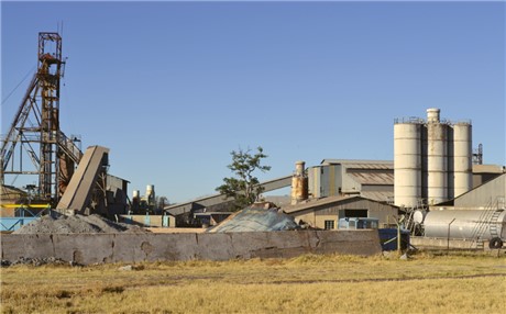
The Otjikoto gold mine (B2gold Namibia) is located 40 kilometers with the constituency from constituency capital, Otavi on B1 road to Otjiwarongo. It is the second Namibian gold mine and has made history being constructed in shortest time in the country. The mine is projecting to produce from 540,000 - 610,000 ounces of gold per year. The project benefits significantly from Otjozondjupa Region well established infrastructure paved highways, a railway, power grids, and process water all close by.
Ohorongo Cement
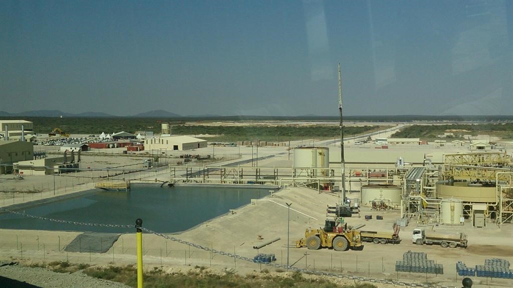
Ohorongo Cement was established in 2007. The plant is situated 25 km on Sargberg farm north of Otavi within Otavi Constituency. The plant has a production capacity of 700,000 tons of cement per annum. Limestone reserves are confirmed for approximately 300 years. The company has provided employment opportunities to local people and supplying cement to local market as well as exporting to neighboring countries.

Namib Mills LTD
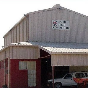
Namib Mills was established in 1982, it is the largest grain processing company in Namibia. It produces flour, pasta, animal feeds, sugar and other products from raw materials including maize, much of which are consumed locally. The company also sells its milling by-products as feed ingredients to feed master, an animal feeds company in the NMI Group.
The company is anchor of the economy of Otavi town, as it provides employment opportunities to the vast majority of the town population.
Tourism
Tourism is one of the fastest growing economic sectors in the constituency with development of hunting farms and game ranges and lodges becoming increasing popular. The tourism sectors employees’ significant numbers of active population in the constituency. Strategically, Otavi is located in the central area serve as the inter node link to the North, East and South of the country. The town of Otavi is also situated 80 Km to Tasha National Park (Halali gate). The important tourist sites in Otavi are:
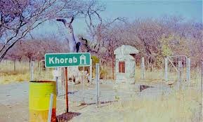
Khorab Monument Site
On July 1, 1915, the German Army was defeated at Otavi by South African troops; on June 9 they surrendered nearby and signed the Khorab Peace Treaty. The monument was veiled in 1920, to mark the end of German rule in South West Africa. It is situated 2 Km north of Otavi town and is a tourist attraction for foreign and local tourism travellers.
HON. GEORGE GARAB

Contact Information
Otavi Constituency Office
P. O. Box 91, Otavi
Telephone No: +264 67 234266
